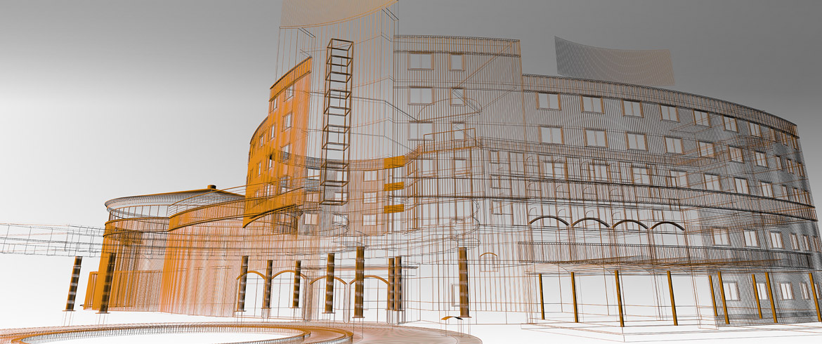
Construction and architecture firms need to offer solutions integrating design and function, a task that requires both engineering proficiency and creative responsibility.
At viin we appreciate the complexities and potential entanglements that this fact brings into the equation. Therefore, we engage in ongoing efforts to bring new solutions for the sake of convergence. Our documentation services as well as our software solutions range from 3D laser scanning and virtual tours to 3D-2D documentation.

Laser scanning has matured from being a revolutionary technology to a reliable, standardized, tried and tested solution for documenting the surroundings in 3D as well as 2D.
Flexible enough to be applied in a wide range of fields, laser scanning can help from the very beginning in green field projects being part of building construction surveys. It can be used to reveal “as-is” data helping to produce the required as built documentation, animations, support digital preservation (cultural heritage) or for creative applications like projection mapping or contemporary art projects.
viin's pedigree brings in an extensive understanding of the principles that lay behind professional grade, premium panorama imagery. We place emphasis upon on-site efficiency and post-editing attention to detail regardless of whether we aim at results for reference documentation and visualization during the design process or for promotional purposes once the asset has reached the real estate market.
Point cloud data sets are currently the most accurate source used for extracting highly detailed drawings that represent the current "as built/as-is" condition of an existing environment and that can play a central role in modern BIM workflows. By prioritizing accuracy, completion time and cost efficiency, we can produce high quality 3D models of facilities and a complete range of 2D documentation.
We deliver models and 2D as built documentation in all major design platforms like Autocad or Microstation.
